Description
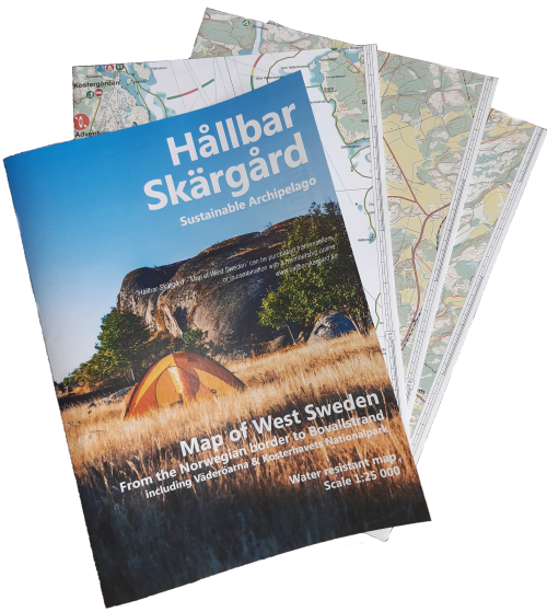
Map of West Sweden – From Bovallstrand to the Norweigan border including Väderöarna & Kosterhavets Nationalpark
Water resistant map – not water proof. Therefore it is recommended to use a map case.
Scale 1:25 000
The map constitutes of important information for planning and implementing your kayak, paddle or boat tour.
You will find important information in the combination of terrain and ocean chart.
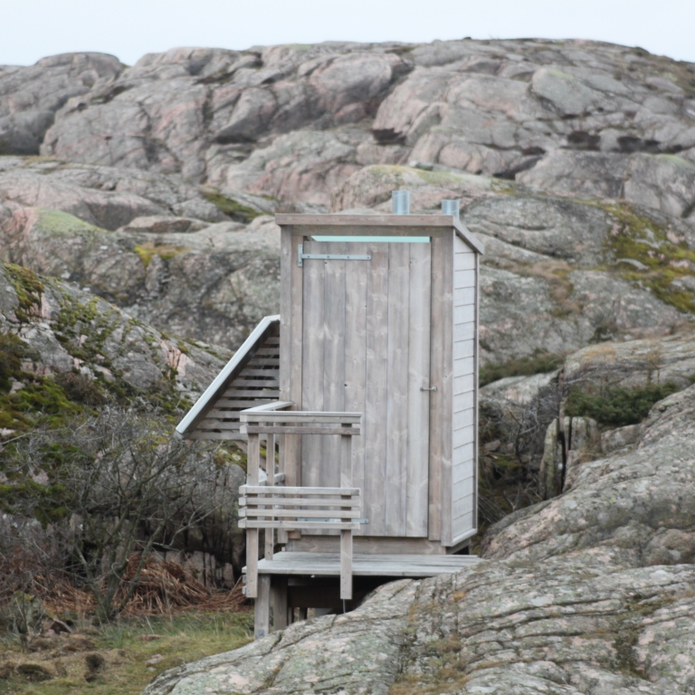
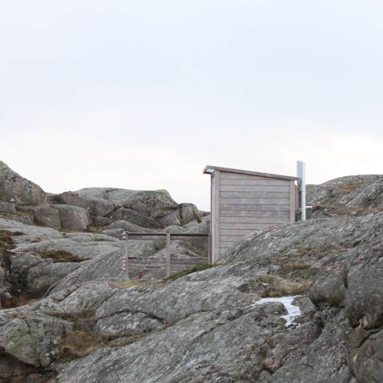
You will get additional information about nature conservation, wild camp spots, parking, recommended launch spots, kayak friendly accomodations, an insight to the right of public access to nature including further references where to read more et c. All to help you as visitor and create a sustainable experice in the archipelago.
The map is a must for everyone planning a visit in the archipelago of the northern part of West Sweden.
This map is exclusively sold to members of this NGO Hållbar Skärgård.
You are able to sign a memership and buy the map for a self cost – 500 sek.
Alternatively, you can contact one of the resellers of the map presented on this site.
The NGO do need your name, e-mail, post address (where to send your map) and date of birth.
Addresses outside Sweden, additional charge.
The association is happy to get feedback, as this is the first edition of the map.


